Harlan Township | |
|---|---|
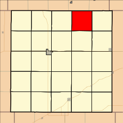 Location in Decatur County | |
| Coordinates: 39°58′04″N100°20′22″W / 39.96778°N 100.33944°W | |
| Country | United States |
| State | Kansas |
| County | Decatur |
| Area | |
• Total | 35.62 sq mi (92.26 km2) |
| • Land | 35.61 sq mi (92.22 km2) |
| • Water | 0.015 sq mi (0.04 km2) 0.04% |
| Elevation | 2,543 ft (775 m) |
| Population (2000) | |
• Total | 51 |
| • Density | 1.6/sq mi (0.6/km2) |
| GNIS feature ID | 0470931 |
Harlan Township is a township in Decatur County, Kansas, United States. As of the 2000 census, its population was 51.
