Garfield Township | |
|---|---|
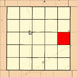 Location in Decatur County | |
| Coordinates: 39°47′33″N100°13′11″W / 39.79250°N 100.21972°W | |
| Country | United States |
| State | Kansas |
| County | Decatur |
| Area | |
• Total | 35.64 sq mi (92.31 km2) |
| • Land | 35.64 sq mi (92.31 km2) |
| • Water | 0 sq mi (0 km2) 0% |
| Elevation | 2,552 ft (778 m) |
| Population (2000) | |
• Total | 41 |
| • Density | 1.0/sq mi (0.4/km2) |
| GNIS feature ID | 0471024 |
Garfield Township is a township in Decatur County, Kansas, United States. As of the 2000 census, its population was 41.
