Beaver Township | |
|---|---|
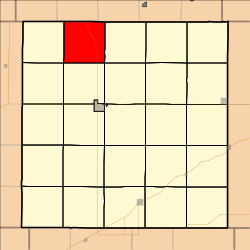 Location in Decatur County | |
| Coordinates: 39°57′20″N100°34′02″W / 39.95556°N 100.56722°W | |
| Country | United States |
| State | Kansas |
| County | Decatur |
| Area | |
• Total | 35.74 sq mi (92.57 km2) |
| • Land | 35.70 sq mi (92.46 km2) |
| • Water | 0.039 sq mi (0.1 km2) 0.11% |
| Elevation | 2,700 ft (823 m) |
| Population (2000) | |
• Total | 86 |
| • Density | 2.3/sq mi (0.9/km2) |
| GNIS feature ID | 0470918 |
Beaver Township is a township in Decatur County, Kansas, United States. As of the 2000 census, its population was 86.
