Spearville Township | |
|---|---|
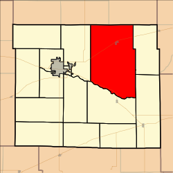 Location in Ford County | |
| Coordinates: 37°46′42″N099°46′42″W / 37.77833°N 99.77833°W | |
| Country | United States |
| State | Kansas |
| County | Ford |
| Area | |
• Total | 185.07 sq mi (479.32 km2) |
| • Land | 185.01 sq mi (479.17 km2) |
| • Water | 0.06 sq mi (0.15 km2) 0.03% |
| Elevation | 2,405 ft (733 m) |
| Population (2000) | |
• Total | 1,150 |
| • Density | 6.2/sq mi (2.4/km2) |
| GNIS feature ID | 0473735 |
Spearville Township is a township in Ford County, Kansas, United States. As of the 2000 census, its population was 1,150.
