Whitney, Alabama | |
|---|---|
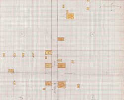 1926 fire insurance map of Whitney | |
 Whitney, Alabama  Whitney, Alabama | |
| Coordinates: 33°52′04″N86°17′29″W / 33.86778°N 86.29139°W | |
| Country | United States |
| State | Alabama |
| County | St. Clair |
| Elevation | 597 ft (182 m) |
| Time zone | UTC-6 (Central (CST)) |
| • Summer (DST) | UTC-5 (CDT) |
| Area codes | 205, 659 |
| GNIS feature ID | 164909 [1] |
Whitney is an unincorporated community in St. Clair County, Alabama, United States.
