This article needs additional citations for verification .(November 2013) |
Spring Hill Township | |
|---|---|
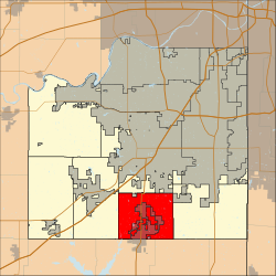 Location in Johnson County | |
| Coordinates: 38°46′39″N94°48′56″W / 38.7775°N 94.81555556°W | |
| Country | United States |
| State | Kansas |
| County | Johnson |
| Area | |
• Total | 27.01 sq mi (70.0 km2) |
| • Land | 26.98 sq mi (69.9 km2) |
| • Water | 0.03 sq mi (0.08 km2) |
| Elevation | 697 ft (212 m) |
| Population (2010) | |
• Total | 7,496 |
| • Density | 280/sq mi (110/km2) |
| Time zone | Central |
| ZIP codes | 66083, 66062 |
| Area code | 913 |
| GNIS ID | 485533 [1] |
Spring Hill Township is a township in Johnson County, Kansas, United States. [1] As of the 2010 census, its population was 7,496.
