Sirat سيرات | |
|---|---|
Commune and town | |
 | |
 | |
 Sirat | |
| Coordinates: 35°46′48″N0°11′31″E / 35.78000°N 0.19194°E | |
| Country | |
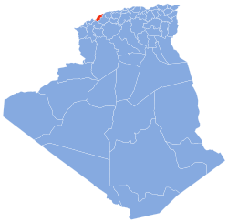
| Province | Mostaganem Province |
| District | Bouguirat District |
| Area | |
• Total | 27 sq mi (71 km2) |
| Population (2008) | |
• Total | 21,677 |
| Time zone | UTC+1 (CET) |
Sirat is a town and commune in Mostaganem Province, Algeria. It is located in Bouguirat District. According to the 1998 census it has a population of 17,979. [1] It lies on the N23 road.