Phu, Nepal फू | |
|---|---|
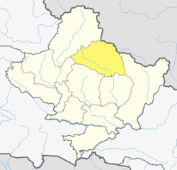
 Phu, Nepal Location in Nepal  Phu, Nepal Phu, Nepal (Nepal) | |
| Coordinates: 28°48′N84°19′E / 28.80°N 84.32°E | |
| Country | |
| Zone | Gandaki Zone |
| District | Manang District |
| Population (2011) [1] | |
• Total | 176 |
| Time zone | UTC+5:45 (Nepal Time) |
Phu, Nepal is a village located in Narpa Bhumi Rural Muncipality in Manang District in the Gandaki Zone of northern Nepal. It is a prominent village of Nar Phu Valley, along with Nar Village [2] . At the time of the 2011 Nepal census it had a population of 176 people living in 36 individual households.