Pawnee Township | |
|---|---|
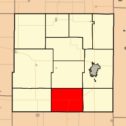 Location in Bourbon County | |
| Coordinates: 37°43′05″N094°50′01″W / 37.71806°N 94.83361°W | |
| Country | United States |
| State | Kansas |
| County | Bourbon |
| Area | |
• Total | 48.75 sq mi (126.27 km2) |
| • Land | 48.60 sq mi (125.88 km2) |
| • Water | 0.15 sq mi (0.39 km2) 0.31% |
| Elevation | 876 ft (267 m) |
| Population (2000) | |
• Total | 308 |
| • Density | 6.2/sq mi (2.4/km2) |
| GNIS feature ID | 0474756 |
Pawnee Township is a township in Bourbon County, Kansas, United States. As of the 2000 census, its population was 308.
