Moorestown, Pennsylvania | |
|---|---|
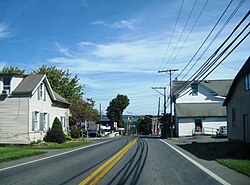 Moorestown on Pennsylvania Route 512 | |
 Moorestown | |
| Coordinates: 40°46′43″N75°22′11″W / 40.77861°N 75.36972°W | |
| Country | |
| State | |
| County | Northampton |
| Township | Moore |
| Elevation | 234 m (768 ft) |
| Population | |
| • Metro | 865,310 (US: 68th) |
| Time zone | UTC-5 (Eastern (EST)) |
| • Summer (DST) | UTC-4 (EDT) |
| Area codes | 610 and 484 |
| GNIS feature ID | 1181518 [1] |
Moorestown (also Mooresburg) is an unincorporated community in Moore Township in Northampton County, Pennsylvania. It is part of the Lehigh Valley metropolitan area, which had a population of 861,899 and was the 68th-most populous metropolitan area in the U.S. as of the 2020 census.
Moorestown is located at the intersection of Pennsylvania State Routes 512 and 946. [2]
