McNatts, Indiana | |
|---|---|
 McNatts General Store | |
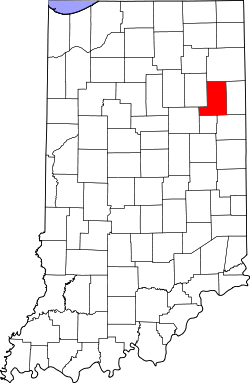 Wells County's location in Indiana | |
 McNatts Location of McNatts in Wells County | |
| Coordinates: 40°37′28″N85°23′28″W / 40.62444°N 85.39111°W | |
| Country | United States |
| State | Indiana |
| County | Wells |
| Township | Jackson |
| Elevation | 846 ft (258 m) |
| Time zone | UTC-5 (Eastern (EST)) |
| • Summer (DST) | UTC-4 (EDT) |
| ZIP code | 46792 |
| GNIS feature ID | 438924 [1] |
McNatts is an unincorporated community in Jackson Township, Wells County, in the U.S. state of Indiana. [1]
