| |
|---|---|
Village | |
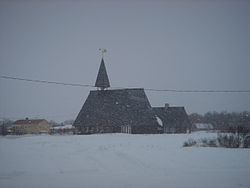 View of the village and church | |
 | |
 Lebesby  Lebesby | |
| Coordinates: 70°34′22″N27°00′07″E / 70.57278°N 27.00194°E | |
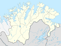
| Country | Norway |
| Region | Northern Norway |
| County | Finnmark |
| District | Øst-Finnmark |
| Municipality | Lebesby Municipality |
| Elevation | 5 m (16 ft) |
| Time zone | UTC+01:00 (CET) |
| • Summer (DST) | UTC+02:00 (CEST) |
| Post Code | 9740 Lebesby |
Lebesby (Norwegian) or Davvesiida (Northern Sami) [2] is a village in Lebesby Municipality in Finnmark county, Norway. The village is located on the shore of the Laksefjorden, along Norwegian County Road 888. The population was 85 in 2015. [3] The village is about half-way between the villages of Ifjord and Bekkarfjord, about 50 kilometres (31 mi) south of the municipal centre of Kjøllefjord. Lebesby Church is located in the center of the village. [4]