| Laram Quta | |
|---|---|
 Laram Quta (Inquisivi)  Laram Quta (Inquisivi) | |
| Location | Bolivia La Paz Department, Inquisivi Province, Quime Municipality |
| Coordinates | 16°57′42″S67°23′17″W / 16.9617°S 67.3881°W |
| Max. length | 1.6 km (0.99 mi) |
| Max. width | 0.6 km (0.37 mi) |
| Surface elevation | 4,862 m (15,951 ft) |
| Location | |
 Interactive map of Laram Quta | |
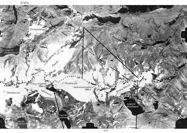
Laram Quta (Aymara larama blue, quta lake, [1] "blue lake", Hispanicized spelling Laramcota) is a lake in Bolivia in the La Paz Department, Inquisivi Province, Quime Municipality. [2] It lies on the western slope of the Kimsa Cruz mountain range, at the foot of the Laram Quta glacier and Mount Gigante, north west of the lake Wallatani. Laram Quta is about 1.6 km long and 0.6 km at its widest point and situated at a height of about 4,862 metres (15,951 ft).