Lakin Township Harvey County, Kansas | |
|---|---|
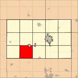 Location within Harvey County | |
| Coordinates: 37°57′20″N97°32′41″W / 37.95556°N 97.54472°W [1] | |
| Country | United States |
| State | Kansas |
| County | Harvey |
| Area | |
• Total | 35.5 sq mi (91.95 km2) |
| • Land | 35.48 sq mi (91.89 km2) |
| • Water | 0.02 sq mi (0.05 km2) 0.05% |
| Elevation | 1,404 ft (428 m) |
| Population (2000) | |
• Total | 357 |
| • Density | 10/sq mi (3.9/km2) |
| Time zone | UTC-6 (CST) |
| • Summer (DST) | UTC-5 (CDT) |
| FIPS code | 20-38150 [1] |
| GNIS ID | 473678 [1] |
| Website | County website |

Lakin Township is a township in Harvey County, Kansas, United States. [1] As of the 2000 census, its population was 357.
