Kamalpur Airport कमलपुर हवाई अड्डे | |||||||||||
|---|---|---|---|---|---|---|---|---|---|---|---|
| Summary | |||||||||||
| Airport type | Public | ||||||||||
| Operator | Airports Authority of India | ||||||||||
| Serves | Kamalpur | ||||||||||
| Location | Kamalpur, India | ||||||||||
| Elevation AMSL | 40 m / 131 ft | ||||||||||
| Coordinates | 24°07′54″N091°48′51″E / 24.13167°N 91.81417°E | ||||||||||
| Map | |||||||||||
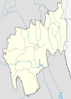 IXQ Location of the airport in Tripura  IXQ IXQ (India) | |||||||||||
| Runways | |||||||||||
| |||||||||||
Kamalpur Airport is a small airport located in Kamalpur, Tripura, India. [1] The airport is spread over an approximately 61 acre area. [2] It is managed by the Airports Authority of India (AAI) and is non-operational. [3] AAI plans to develop the airport for operation of ATR-42 and ATR-72 type of aircraft. [4]
In the 1990s, Vayudoot used to fly its Dornier 228 aircraft from Agartala [5] to Kamalpur.