Hendricks Township | |
|---|---|
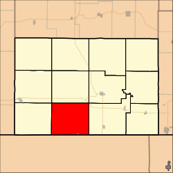 Location in Chautauqua County | |
| Coordinates: 37°03′10″N096°18′51″W / 37.05278°N 96.31417°W | |
| Country | United States |
| State | Kansas |
| County | Chautauqua |
| Area | |
• Total | 54.96 sq mi (142.34 km2) |
| • Land | 54.93 sq mi (142.27 km2) |
| • Water | 0.027 sq mi (0.07 km2) 0.05% |
| Elevation | 1,040 ft (317 m) |
| Population (2000) | |
• Total | 179 |
| • Density | 3.4/sq mi (1.3/km2) |
| GNIS feature ID | 0469131 |
Hendricks Township is a township in Chautauqua County, Kansas, United States. As of the 2000 census, its population was 179.
