| Gehrener Schichten | |
|---|---|
| Stratigraphic range: Gzhelian (Stephanian C) ~ | |
| Type | Formation |
| Overlies | Ilmtal Granitoid |
| Lithology | |
| Primary | Shale |
| Location | |
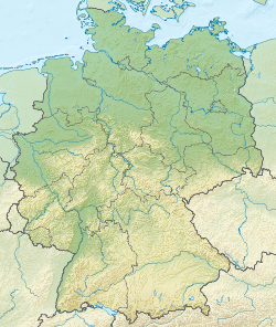
| Coordinates | 50°42′N10°54′E / 50.7°N 10.9°E |
| Approximate paleocoordinates | 3°12′N19°18′E / 3.2°N 19.3°E |
| Region | Thuringia |
| Country | Germany |
| Extent | Thuringian Forest Basin |
| Type section | |
| Named for | Gehren |
 Gehrener Formation (Germany) | |
The Gehrener Schichten (German for Gehren Formation) is a geologic formation in Germany. The fluvial to lacustrine shales preserve fossils dating back to the Late Carboniferous period (Stephanian C in European stratigraphy or Gzhelian in international stratigraphy).