Fillmore, North Dakota | |
|---|---|
 Fillmore | |
 Fillmore, North Dakota Location within the state of North Dakota | |
| Coordinates: 48°10′49″N99°48′02″W / 48.18028°N 99.80056°W | |
| Country | United States |
| State | North Dakota |
| County | Benson |
| Elevation | 1,594 ft (486 m) |
| Time zone | UTC-7 (Mountain (MST)) |
| • Summer (DST) | UTC-6 (MDT) |
| Area code | 701 |
| GNIS feature ID | 1028956 [1] |
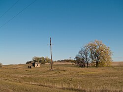
Fillmore is an unincorporated community located between Sand Lake and Cranberry Lake, in Benson County, North Dakota, United States.
