Coonamessett Airport | |
|---|---|
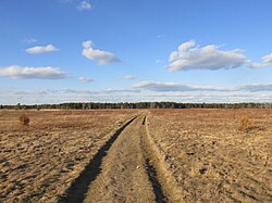 Pheasant Area of the Frances A. Crane Wildlife Management Area | |
| Summary | |
| Operator | Private |
| Location | Hatchville, Massachusetts |
| Built | Unknown |
| In use | 1933-1968 |
| Occupants | Private |
| Elevation AMSL | 98 ft / 30 m |
| Coordinates | 41°38′16.34″N70°33′35.45″W / 41.6378722°N 70.5598472°W |
 Interactive map of Coonamessett Airport | |
Coonamessett Airport was an airfield operational in the mid-20th century in Hatchville, Massachusetts, on Cape Cod. [1] It is now part of the Pheasant Area at the Frances A. Crane Wildlife Management Area.