Absaraka, North Dakota | |
|---|---|
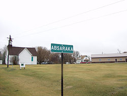 Sign for Absaraka | |
 Absaraka  Absaraka | |
| Coordinates: 46°58′41″N97°23′40″W / 46.97806°N 97.39444°W | |
| Country | |
| State | |
| County | Cass |
| Townships | Empire, Wheatland |
| Elevation | 1,070 ft (330 m) |
| Time zone | UTC-6 (Central (CST)) |
| • Summer (DST) | UTC-5 (CDT) |
| ZIP code | 58002 [2] |
| Area code | 701 |
| GNIS feature ID | 1027648 [1] |
Absaraka is an unincorporated community in central Cass County, North Dakota, United States. It lies northwest of the city of Fargo, the county seat of Cass County. [3]
