Belefuanai | |
|---|---|
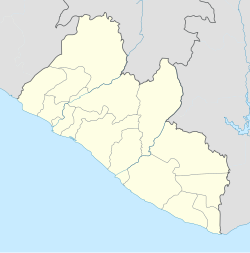 Belefuanai Location in Liberia | |
| Coordinates: 7°15′36″N9°26′7″W / 7.26000°N 9.43528°W | |
| Country | |
| County | Bong County |
| Climate | Am |
Belefuanai is a town in Zota District of Bong County, Liberia, near the border of Guinea.
Nearby towns and villages include Gawata (3.4 km), Belifine (1.2 km), Bunga (1.0 km), Gannyou (4.5 km) and Bonia (2.1 km).